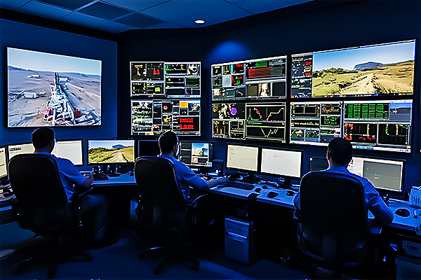
SCADA Systems
We use SCADA for real-time monitoring of field data — from pressure and flow rates to wellhead status — ensuring optimized production and fast fault detection.
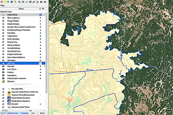
GIS & Mapping
Geospatial tools allow us to map terrain, track asset locations, and conduct spatial analysis for safer, more efficient field operations.
AI-Powered Monitoring
Artificial Intelligence helps us predict mechanical failure, detect production anomalies, and process large volumes of field data for smarter decision-making.